Drone photos
$75 per shoot
High views of the front, the back and the lot, plus wider shots that place the home in its neighborhood.
Drone photography
Aerial photos show what ground photos cannot: the size and shape of the lot, the roofline, the backyard, and what sits around the home. We add drone photos and aerial video to any shoot, flown by our FAA-licensed drone pilot during the same appointment.
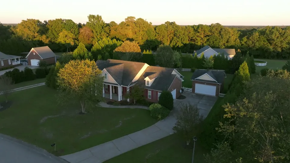
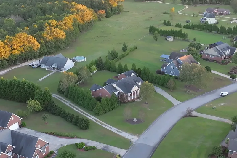
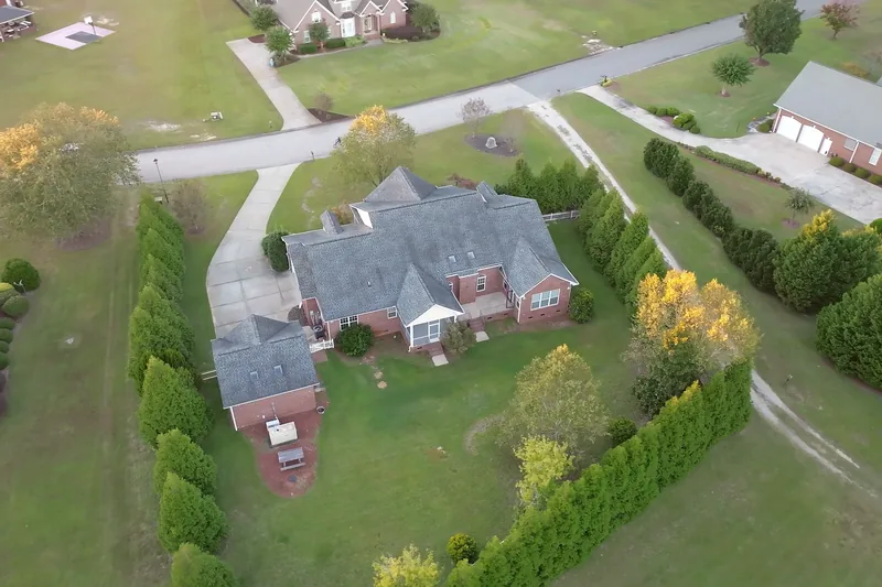
Tap a photo to see it full size.
$75 per shoot
High views of the front, the back and the lot, plus wider shots that place the home in its neighborhood.
$150 per shoot
A short flight around the home and its surroundings, edited to music, for the listing, social media and your website.
Both are add-ons to any package and are booked online with the rest of the shoot.
A single overhead photo shows the shape and size of the property better than a dozen ground shots.
Pools, decks, fenced yards and tree lines read clearly from above.
Wider views show the street, the neighborhood and nearby water, golf courses or open land.
A clean overhead view of the roof and the finished lot answers questions buyers would otherwise ask.
Flights depend on weather and airspace, which matters around Fort Bragg and Fayetteville Regional Airport. If the aerials cannot be flown at your shoot time, we schedule them separately at no extra cost.
We work across Fayetteville, Hope Mills, Spring Lake, Raeford, Sanford, Lillington, Dunn, Lumberton, Southern Pines and Pinehurst. Questions? Call (472) 279-5285 or write to bookings@broadshotmedia.com.